
Nassau cruise port leads the way in Caribbean Tourism Innovation
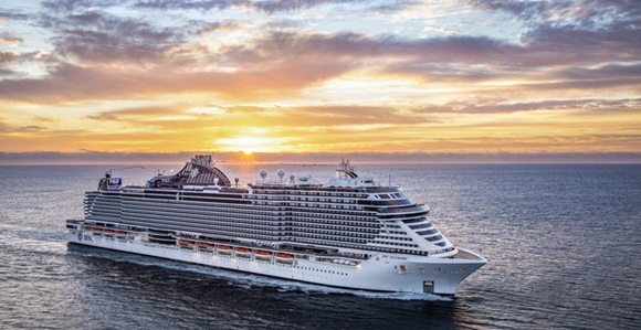
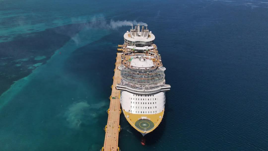
Nassau cruise port leads the way in Caribbean Tourism Innovation Nassau Cruise Port boosts Bahamas tourism with a $300M upgrade, enhanced facilities, cultural attractions, and a new alliance with the national tourism association. Nassau Cruise Port (NCP), the premier entry point for cruise passengers visiting The Bahamas and a key transit hub in the Caribbean, has officially become a member of the Bahamas Hotel and Tourism Association (BHTA). This strategic move strengthens NCP’s position not only within the national tourism framework but also across the broader Caribbean travel landscape. The milestone underscores the port’s dedication to enhancing The Bahamas’ appeal as a top-tier destination while fostering deeper collaboration within the local hospitality sector. By aligning with BHTA—one of the most prominent tourism organizations in the region—NCP affirms its strong commitment to sustainable growth, forward-thinking innovation, and long-term success in both Bahamian and Caribbean tourism. This new alliance reflects a broader strategy [...]


